Circuit n°27 - La boucle des siffleurs
Add to my favorites

Route opened
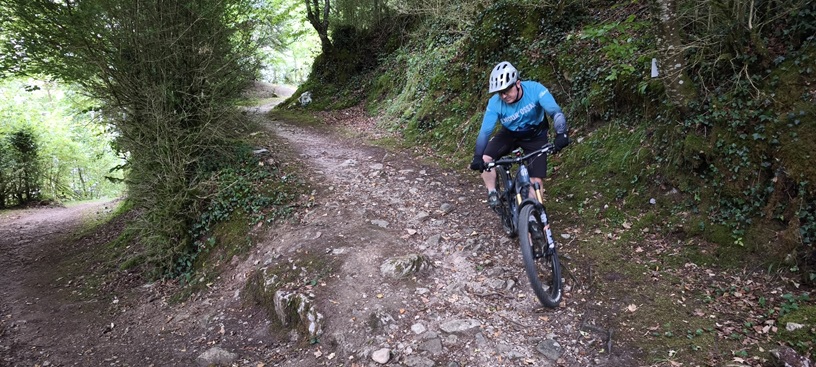
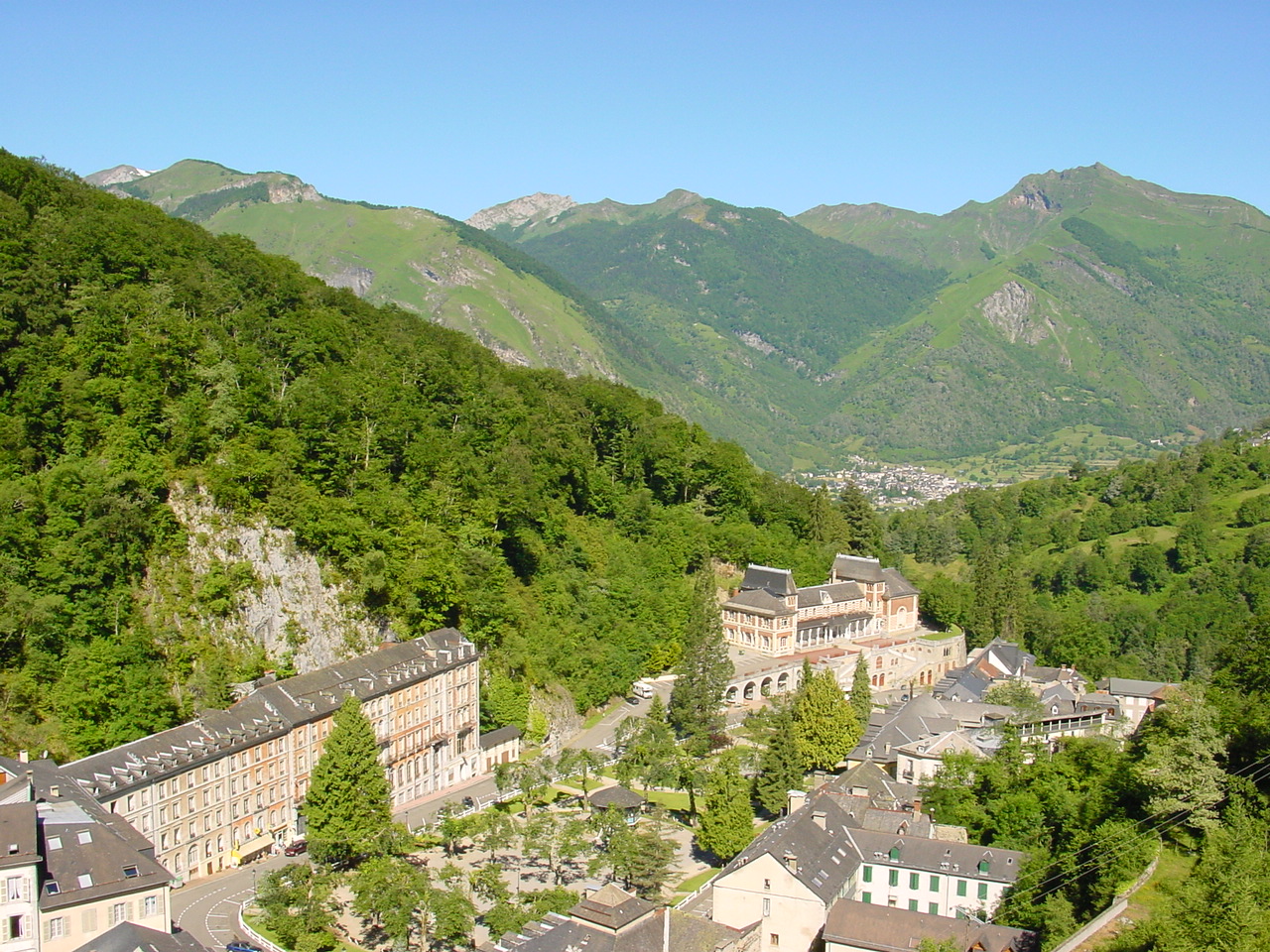
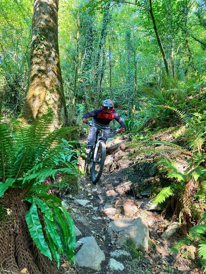
A new blue track around Eaux-Bonnes
The characteristics of the route.

Eaux-Bonnes (64)
- Distance 10.32 km
- Elevation gain 450 m
- Elevation lost 450 m
- Min. elevation 594 m
- Max. elevation. 834 m
- Suivre le balisage

Report a problem
Add your time and share your feelings
Services nearby
Eaux-Bonnes charging station
Eaux-Bonnes

Hôtel Le Richelieu
EAUX-BONNES
Camping Iscoo
EAUX-BONNES
Camping du Valentin (SARL)
LARUNS
Camping des Gaves
LARUNS



Follow us on
the digital trails
the digital trails



The Ossau Valley Tourist Office
Welcome desk of Laruns
Maison de la Vallée d’Ossau – 64 440 LARUNS
+33(0)5 59 05 31 41
Tourist Office
 Ossau valley Land of adventures - Parcours - Circuit n°27 - La boucle des siffleurs
Hello, world! This is a toast message.
Ossau valley Land of adventures - Parcours - Circuit n°27 - La boucle des siffleurs
Hello, world! This is a toast message.
Ossau valley Land of adventures - Parcours - Circuit n°27 - La boucle des siffleurs
Hello, world! This is a toast message.



OK
Annuler