L’Eau Rousse - Col Lauzon
Add to my favorites

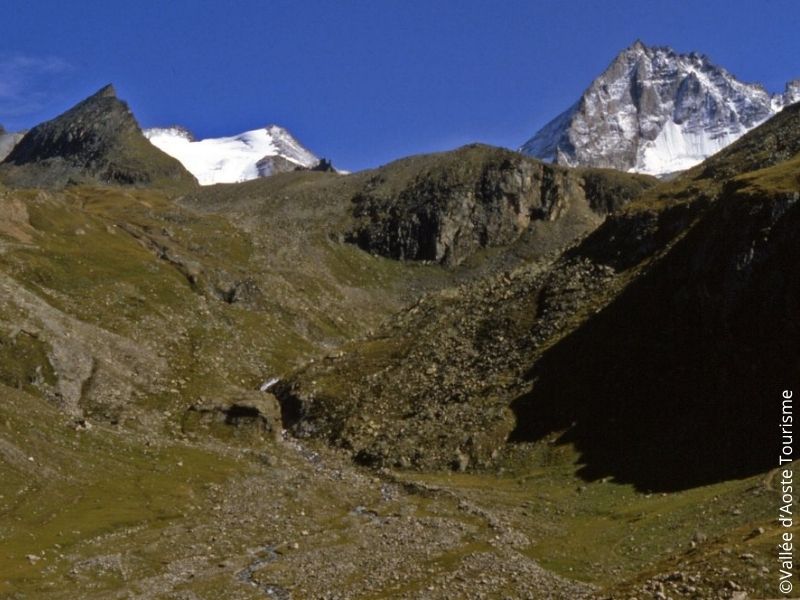
From the village of Eaux Rousses, a hamlet near the municipal seat of Valsavarenche, cross the bridge over the stream and take the path that goes up over the meadows. You then come to sparse woods until you reach the long plateau, where you find the pasture of Levionaz Inferiore, next to the lodge of the National Park Gran Paradiso and a votive chapel. After going across the entire plateau and crossing the stream, the path climbs steeply, first across meadow and then over stone ground, and finally leads to Col Loson.
Difficulty : EE
The characteristics of the route.
Valsavarenche (IT)
- Distance 12.61 km
- Elevation gain 1760 m
- Elevation lost 150 m
- Min. elevation 1650 m
- Max. elevation. 3276 m
- Duration (depending on pace) 5h30
- Marking AV2 - 10B - 10
Area : Dégioz
Report a problem
Add your time and share your feelings



Coming to Valsavarenche
Info & contacts
Comune di Valsavarenche
Loc. Dégioz, 166
11010 Valsavarenche (AO)
Tel. (+39) 0165 905703
 Valsavarenche Montagne Sauvage - Parcours - L’Eau Rousse - Col Lauzon
Hello, world! This is a toast message.
Valsavarenche Montagne Sauvage - Parcours - L’Eau Rousse - Col Lauzon
Hello, world! This is a toast message.
Valsavarenche Montagne Sauvage - Parcours - L’Eau Rousse - Col Lauzon
Hello, world! This is a toast message.


OK
Annuler