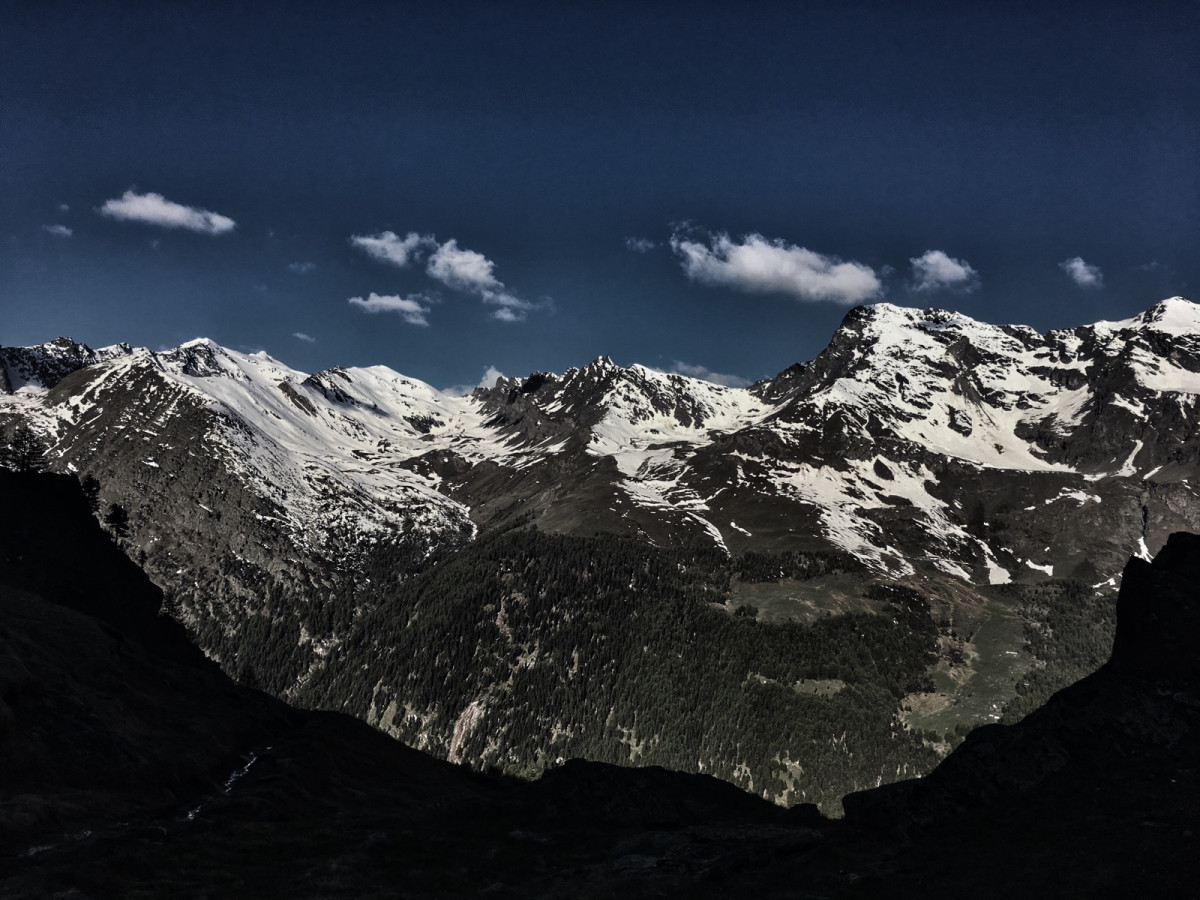

The "Alta via" (in French "haute route") is an itinerary that connects all the passes of the Aosta Valley. This route has become internationally successful thanks to the Tor des Géants. The route taken here leads you along a section of the Alta Via. Starting from Dégioz, you first climb through the larch forest to Orvieille, the former hunting camp of King Victor Emmanuel in the 19th century. Here you join the Alta Via to descend to the village of Eaux-Rousses, a hamlet with typical chalets, which deserves a short break. After crossing the road, you continue through a forest with centuries-old trees to climb to Lévionaz. After contemplating the waterfall of Lévionaz, you descend to the hamlets of Nex and Tignet, a must to admire the architecture of the typical mountain hamlets. You will then descend by road to Dégioz.

- Distance 18.6 km
- Elevation gain 1400 m
- Elevation lost 1400 m
- Min. elevation 1532 m
- Max. elevation. 2234 m
- Duration (depending on pace) 2h20 à 5h30
- Marking Trail-running signs n°I


