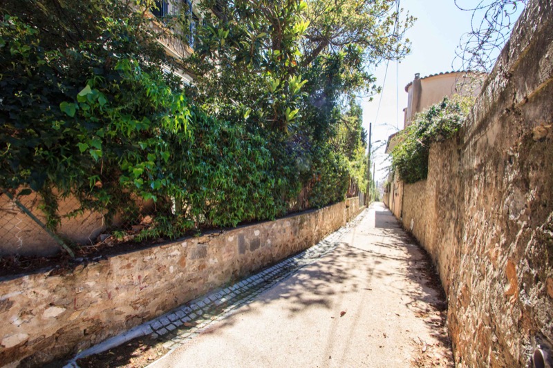
Trail 3 - Montrouge
Add to my favorites

Route opened

This is a difficult (red) trail of 4.10 km, mainly downhill, following the old restored rural pathways. An excellent way to give your legs a workout as you make your way downhill.
The characteristics of the route.

Cannes (06)
- Distance 4.1 km
- Elevation gain 30 m
- Elevation lost 180 m
- Min. elevation 1 m
- Max. elevation. 163 m
- Duration (depending on pace) 25 - 50 min
- Marking Yes
Leaving from the panorama of the Canal de la Siagne, go down Boulevard Alexandre Lacour, then turn left into Avenue Fiesole and Boulevard des Pins. The downhill section ends temporarily at the crossroads of Boulevard Saint-Georges, and a slightly uphill section will lead you to the Montrouge rural path. Walk along this small path with its steps and right-angled turns before arriving at Avenue de la Californie. Cross the avenue, then continue along the Montrouge path, which ends with a pedestrian crossing at the intersection with Avenue du Maréchal Juin.
Go down Avenue Andrée Capron and turn left into Boulevard Alexandre III as far as the traffic lights. Cross Boulevard Alexandre III and continue along Boulevard Eugène Tripet and the section under the railway line.
Go down Avenue de Lérins and pass in front of the Hespérides stadium and as far as the crossroads with Avenue de la Reine Astrid at the corner of Place de l’Etang, the boules centre in Cannes. Turn right and go as far as Boulevard de la Croisette, cross the pedestrian crossing to get to the trail start point by going around Square Verdun as far as the steps leading to Bijou Plage.
Area : Cannes Sports
Report a problem Add a comment
Ksi06
finished in 00:24:00
The 2020/10/11
En savoir plus
Ajouter votre chrono et partager vos sensations
Services nearby

Slumber

Broom Challenge !

Nutrition

Breakfast

sports sessions
Cannes
OK
Annuler


