
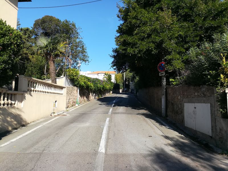
Then you arrive at the Belvédère de l’Observatoire, where you take the Siagne Canal Promenade.
After three kilometres of paths with road intersections, you head down Avenue Ziem, continuing along Avenue Monticelli and Boulevard Cézanne, before riding along the Corniche du Paradis Terrestre with its beautiful villas.
Then you make your way up Avenue de Vallauris, turn right onto Boulevard Emmanuel Bellini, and continue along Boulevard Beausoleil and Boulevard Supérieur Alexandre Lacour. Take the right-hand fork onto Avenue Tropicale, follow the winding Boulevard Saint-Georges and Boulevard des Pins before arriving at Avenue de la Californie.
Take Avenue du Roi Albert Ier as far the Chemin de Mauvarre and then follow the sea-front as far as the D6007 road, where you arrive back at the route's starting point.
- Distance 13.6 km
- Elevation gain 240 m
- Elevation lost 240 m
- Min. elevation 10 m
- Max. elevation. 168 m
- Duration (depending on pace) 0h45 - 1h20
- Marking no


the digital trails


![]()
Infos & contact
Mairie de Cannes
Direction des Sports
CS30140
06414 Cannes
04.97.06.43.56
 Cannes Sports - Parcours - Bike route - Trans Canne Est
Cannes Sports - Parcours - Bike route - Trans Canne Est
Cannes Sports - Parcours - Bike route - Trans Canne Est
Cannes Sports - Parcours - Bike route - Trans Canne Est
Cannes Sports - Parcours - Bike route - Trans Canne Est

