VTT FFC 10 : Maltiola
Add to my favorites

A lack of waymarking has been reported on part of this route. Some markers may be missing or difficult to spot. We recommend following the route on the app or using the GPX track throughout your ride.
Warning
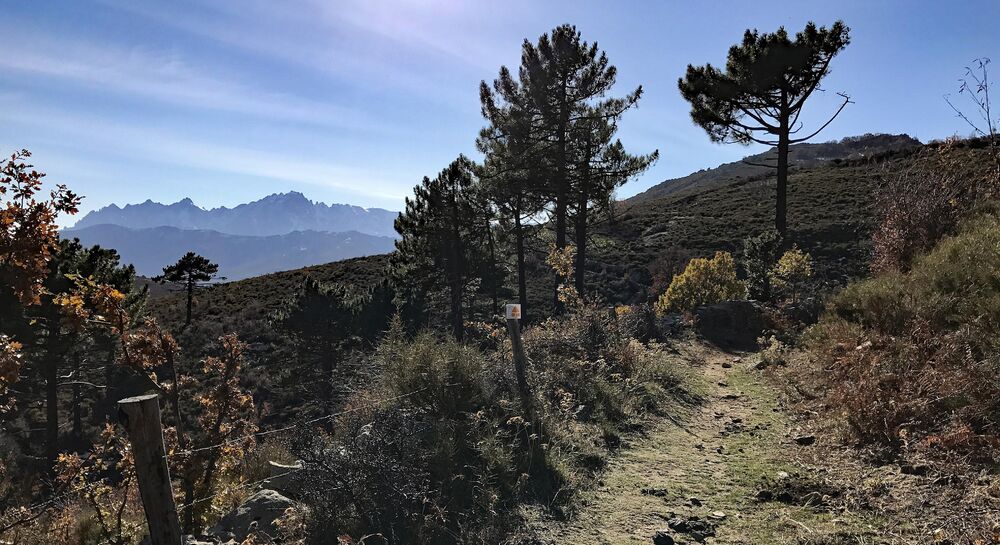
A wild trail to the highest point of the site, overlooking the sea at 1100m, in the heart of the Parc Naturel Régional de la Corse.
The characteristics of the route.

Olmi-Cappella (2B)
- Distance 25.57 km
- Elevation gain 960 m
- Elevation lost 960 m
- Min. elevation 486 m
- Max. elevation. 1094 m
- Duration (depending on pace) 3h
- Marking Yes
Warning : shortly before the Col San Colombano, a padlocked gate blocks the passage of the herds. Portage will be required to overcome this obstacle. Work is scheduled to resolve this problem.Admission fee : Free access.Opening : Closed temporarily.
Report a problem
Website
Add your time and share your feelings
Services nearby

Proxi
Olmi-Cappella

Eglise Saint Nicolas
Olmi-Cappella
La Confrérie Saint Antoine
Olmi-Cappella

U Filanciu
Olmi-Cappella
A Caldaghja
Pioggiola


Information updated on 2025-08-20 by Office de Tourisme Intercommunal de L'Ile Rousse-Balagne


Follow us on
the digital trails
the digital trails




Infos & contacts
Tourism Office
Île Rousse - Lisula
+33(0)4 95 60 04 35
 Lisula - Outdoor & Trail - Parcours - VTT FFC 10 : Maltiola
Hello, world! This is a toast message.
Lisula - Outdoor & Trail - Parcours - VTT FFC 10 : Maltiola
Hello, world! This is a toast message.
Lisula - Outdoor & Trail - Parcours - VTT FFC 10 : Maltiola
Hello, world! This is a toast message.


OK
Annuler