Route 7 - The Round
Add to my favorites

Route opened
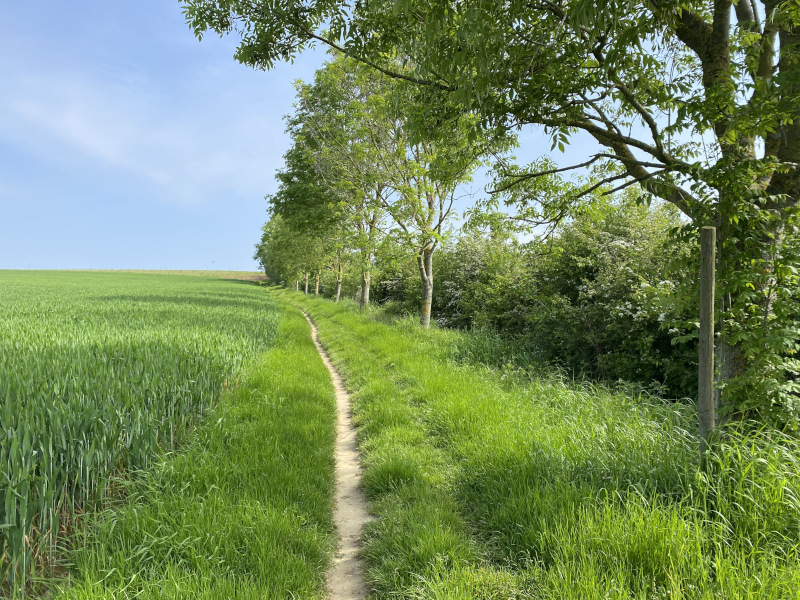
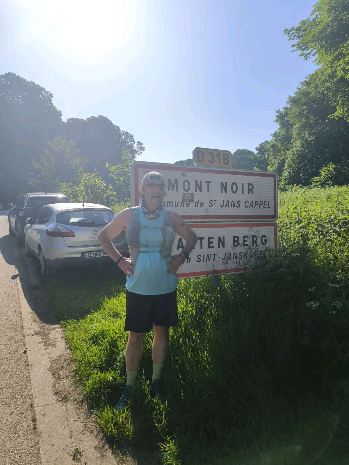
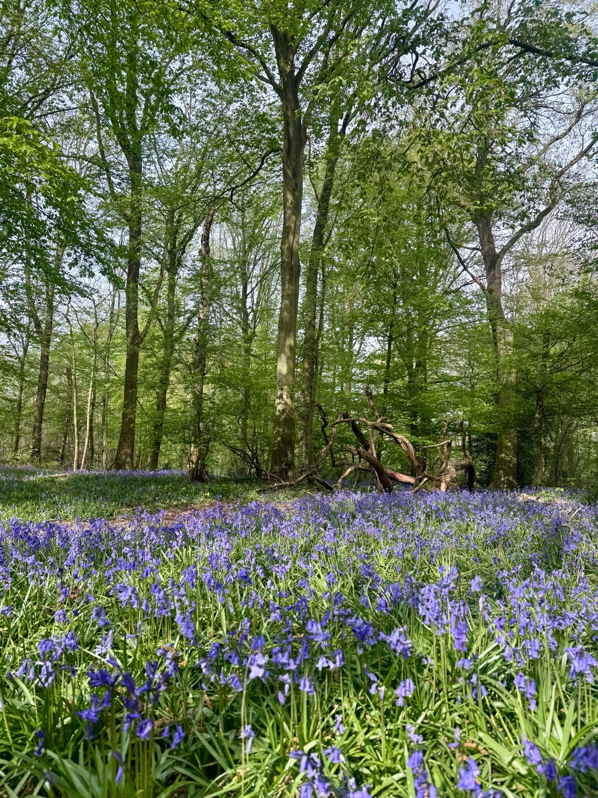
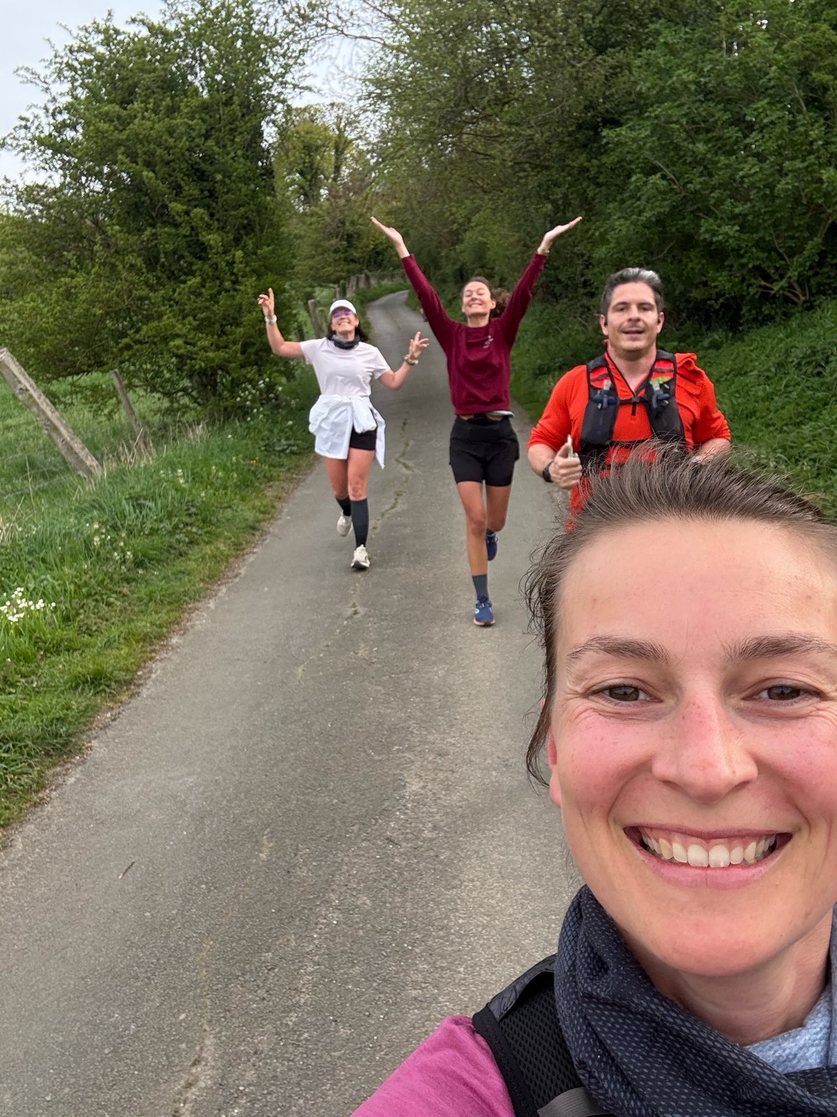
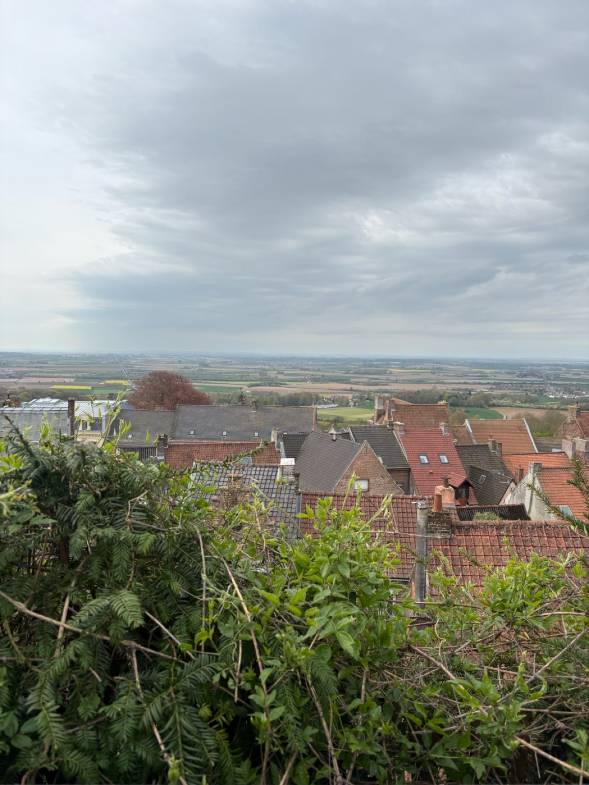
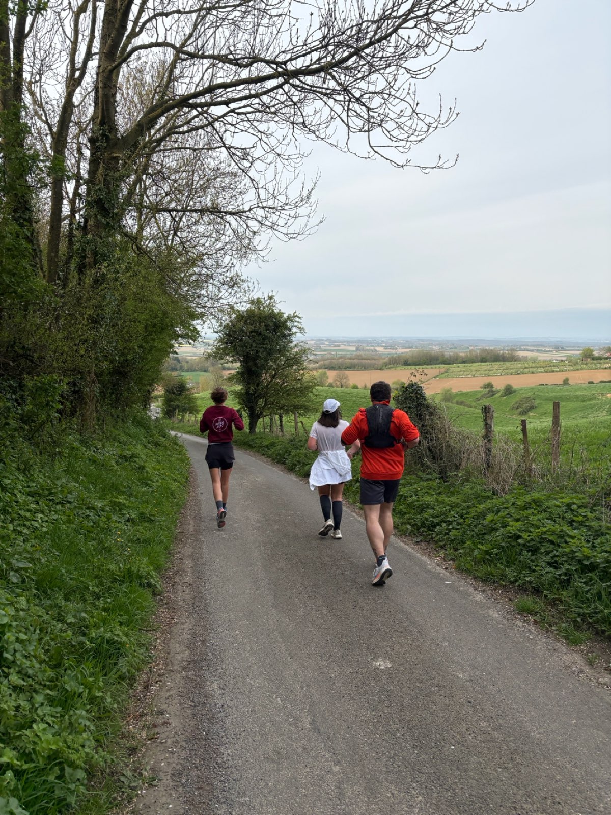
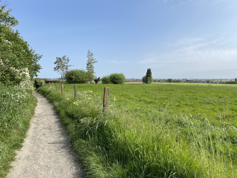
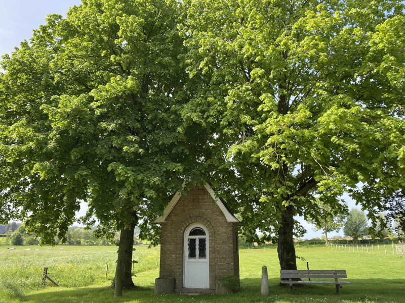
Discover this cross-border route that links France and Belgium via Mont Rouge and Mont Noir. Beautiful woodland paths take you to the heights of Saint-Jans-Cappel. You will then follow the border and cross more open grasslands as far as Westouter. A final effort as you to climb a few dozen metres more to return to the starting point.
The characteristics of the route.
Rodeberg-Westouter (BE)
- Distance 11.7 km
- Elevation gain 214 m
- Elevation lost 214 m
- Min. elevation 41 m
- Max. elevation. 149 m
- Duration (depending on pace) 1h15 à 2h30
- Marking n°7 blue
Report a problem
PDF - Route 7 The latest reviews & times
Lehiench04
finished in 01:23:00
The 2026/05/25
En savoir plus
Luludhg
The 2026/04/12
En savoir plus
helenelo
The 2026/04/11
En savoir plus
Deborah59
finished in 01:08:00
The 2025/06/11
En savoir plus
MP-CDF
The 2025/03/26
En savoir plus
See all reviews & times
2024/08/31 03:19:00
C_Audrey
C_Audrey
2024/07/17 01:16:30
Underwent7382
Underwent7382
Beau parcours avec de beaux paysages.
Balisage facile à suivre
2024/07/17 01:16:30
Underwent7382
Underwent7382
Beau parcours avec de beaux paysages.
Balisage facile à suivre
2024/05/18 Dorothy59
Toujours aussi boueux mais parcours sympa ????
2023/11/12 thalie59
Beau parcours avec de très jolis points de vue. Fais après les grosses pluie, bien boueux mais praticable si on a pas peur de se salir ????????.
Pas de soucis de fléchage ????.
2023/11/06 01:10:00
Sebjanskappel
Sebjanskappel
Très jolie boucle entre Mont Rouge et Mont Noir. Devient bleue foncée voire rouge claire sous forte pluie (bcp de petits ruisseaux se créent dans les chemins)
2023/10/25 00:55:00
VinceFlanders
VinceFlanders
Ma partie préférée, c’est le Montrouge! Rester concentré sur le fléchage au village Westoute , car le fléchage est discret….
2025/06/11 01:08:00
Deborah59
Deborah59
Parcours au top , bien sec , de beaux paysages , fléchage nickel . Juste génial .
2025/03/26 MP-CDF
Très bon parcours également pour la randonnée pédestre, entre France et Belgique, sur les monts à la frontière.
2024/08/31 03:19:00
C_Audrey
C_Audrey
2024/07/17 01:16:30
Underwent7382
Underwent7382
Beau parcours avec de beaux paysages.
Balisage facile à suivre
2024/07/17 01:16:30
Underwent7382
Underwent7382
Beau parcours avec de beaux paysages.
Balisage facile à suivre
2024/05/18 Dorothy59
Toujours aussi boueux mais parcours sympa ????
2023/11/12 thalie59
Beau parcours avec de très jolis points de vue. Fais après les grosses pluie, bien boueux mais praticable si on a pas peur de se salir ????????.
Pas de soucis de fléchage ????.
2023/11/06 01:10:00
Sebjanskappel
Sebjanskappel
Très jolie boucle entre Mont Rouge et Mont Noir. Devient bleue foncée voire rouge claire sous forte pluie (bcp de petits ruisseaux se créent dans les chemins)
2023/10/25 00:55:00
VinceFlanders
VinceFlanders
Ma partie préférée, c’est le Montrouge! Rester concentré sur le fléchage au village Westoute , car le fléchage est discret….
Services nearby

Aux touristes
SAINT-JANS-CAPPEL
BIERBUIK MONT NOIR
SAINT-JANS-CAPPEL
Café français
SAINT-JANS-CAPPEL
Le Chalet du Mont Noir - Estaminet
SAINT-JANS-CAPPEL

La Sablière du Mont Noir
SAINT-JANS-CAPPEL


Follow us on
the digital trails
the digital trails


![]()
Website
Contact mail
Information offices
Bailleul - 03 65 67 10 17
Cassel - 03 65 67 41 12
 In Flanders Trails - Parcours - Route 7 - The Round
Hello, world! This is a toast message.
In Flanders Trails - Parcours - Route 7 - The Round
Hello, world! This is a toast message.
In Flanders Trails - Parcours - Route 7 - The Round
Hello, world! This is a toast message.


OK
Annuler