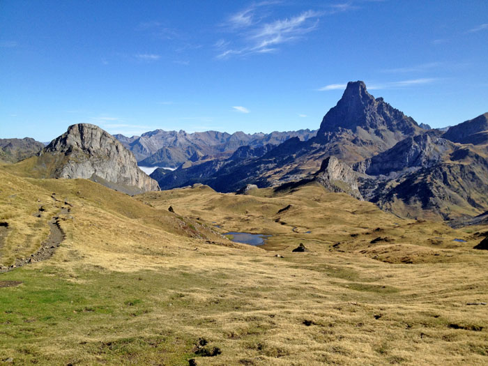
Circuit 63. HRP Col des moines/Refuge de Pombie
Add to my favorites

Route closed

The HRP, or more precisely the “Haute Route Pyrénéenne”, is a long-distance hiking route which, in 45 high mountain stages, crosses the Pyrenees, linking the Atlantic to the Mediterranean. Crossing the high valley of Ossau is done in two stages, from the Col des Moines to the Refuge de Pombie and the Refuge de Pombie to the Refuge d’Arrémoulit.
The characteristics of the route.

Col des Moines (ES)
- Distance 8.9 km
- Elevation gain 680 m
- Elevation lost 820 m
- Min. elevation 1639 m
- Max. elevation. 2312 m
- Duration (depending on pace) 5h15
You may notice differences between the distance and elevation data displayed on the digital tools and the pdf file due to different data sources.
Report a problem Add a comment
PDF_Files_Hiking63_Col des Moines Refuge de Pombie Rando Ossau 63-64 - HRP Col des moines - Pombie - Arrémoulit
Add your time and share your feelings
Services nearby

Refuge de Pombie
COL-DU-POURTALET

L'Estibère
GABAS

Hébergement associatif Béarn Pont de Camps
PONT-DE-CAMPS

Artouste charging station
Artouste

Restaurant Le Panoramic
ARTOUSTE
OK
Annuler


