Circuit VTT n°8. Le Port de Castet
Add to my favorites

Posible snow cover
Route opened

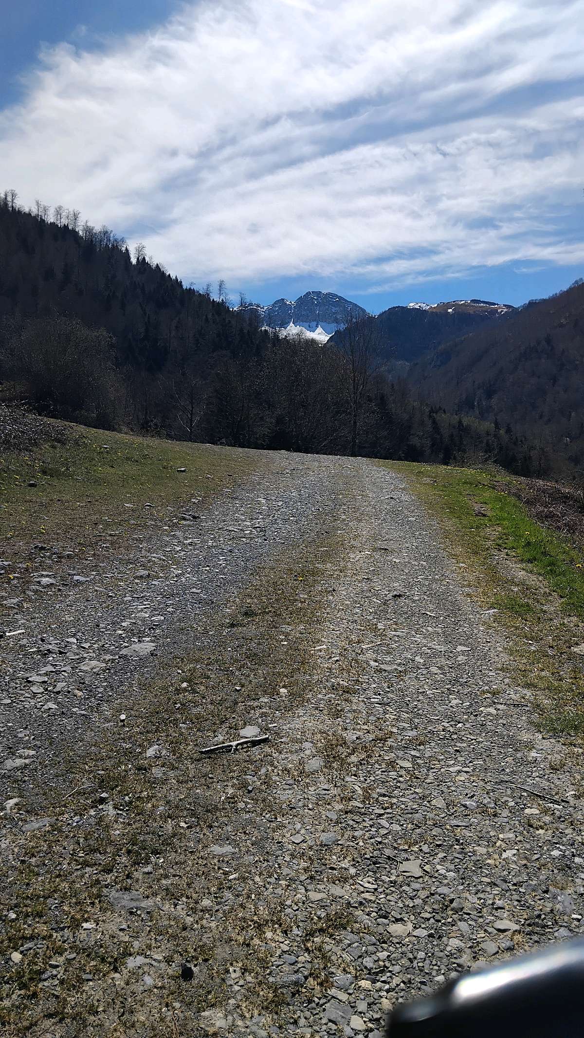
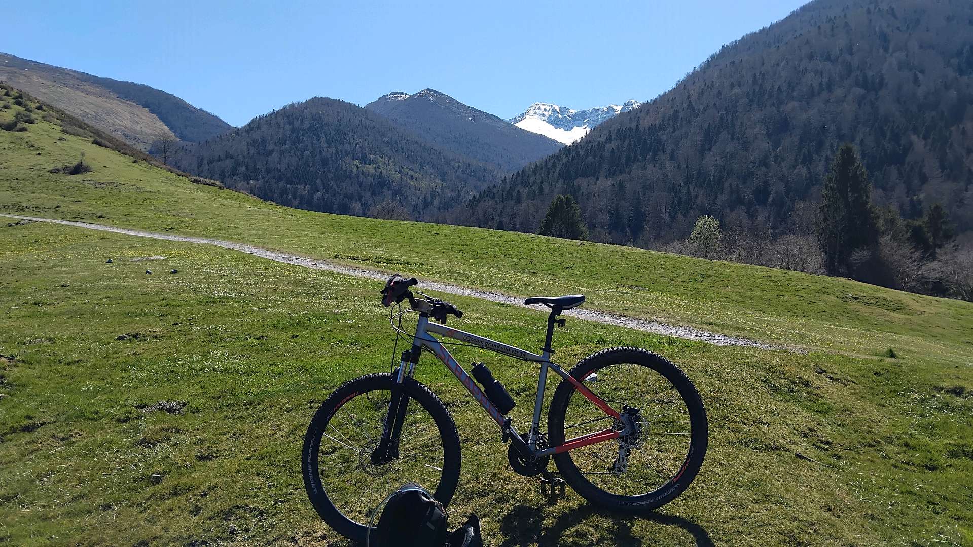
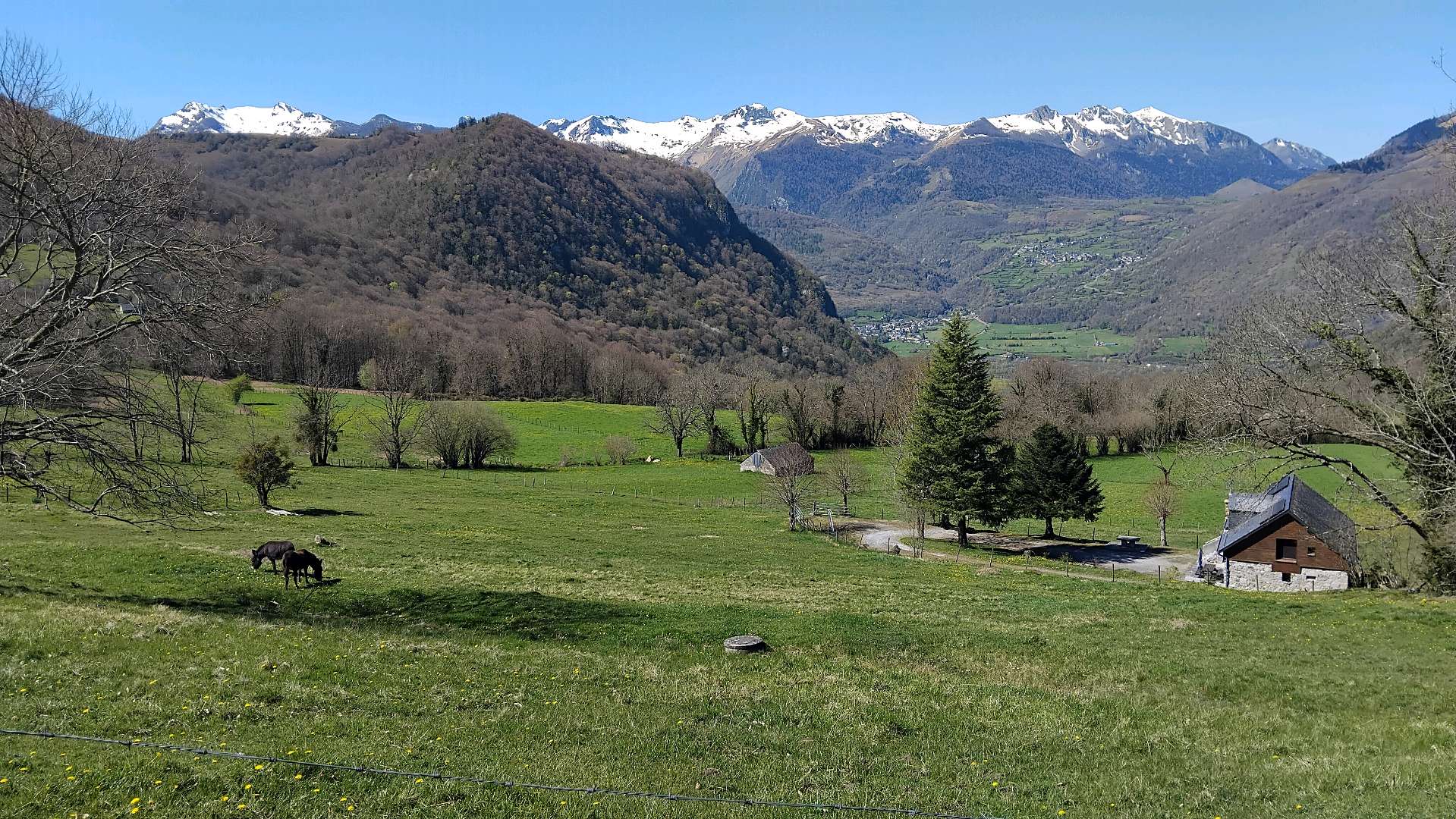
A track surrounded by vast pastures and more intimate areas of forest, on wide tracks with a steady slope both up and down
The characteristics of the route.
Port de Castet (64)
- Distance 8.83 km
- Elevation gain 300 m
- Elevation lost 300 m
- Min. elevation 868 m
- Max. elevation. 1114 m
- Duration (depending on pace) 0h45
- Marking VTT-FFC n°8 blue
A promontory on the plateau and on the valley towards Bilhères en Ossau. A view of the Moulle de Jaut. The mountain bike loop offers an excellent view over the Port de Castet plateau and the southern slope of the Rey. Further west, the Lazerque mountain dominates the Benou plateau, above the village of Bilhères en Ossau.
The Ossau Valley and « Pyrénées Béarnaises » are certified by the French Cycling Federation (FFC).
Report a problem
PDF MTB - Castet David89
finished in 03:00:00
The 2026/04/06
En savoir plus
Ajouter votre chrono et partager vos sensations
Services nearby

Cabanots Ecolodges
CASTET

Petits Pas - Randonnées en âne
CASTET
Ossau de l'eau canyoning - Accompagnateur Canyon
CASTET
Borne de recharge Maison du Lac de Castet
Bielle
Bicycle repair station Bielle - Maison du lac de Castet
Bielle


Follow us on
the digital trails
the digital trails


![]()
The Ossau Valley Tourist Office
Welcome desk of Laruns
Maison de la Vallée d’Ossau – 64 440 LARUNS
+33(0)5 59 05 31 41
Tourist Office
 Ossau valley Land of adventures - Parcours - Circuit VTT n°8. Le Port de Castet
Hello, world! This is a toast message.
Ossau valley Land of adventures - Parcours - Circuit VTT n°8. Le Port de Castet
Hello, world! This is a toast message.
Ossau valley Land of adventures - Parcours - Circuit VTT n°8. Le Port de Castet
Hello, world! This is a toast message.


OK
Annuler