Route 1 - In the footsteps of Marguerite
Add to my favorites

Route opened
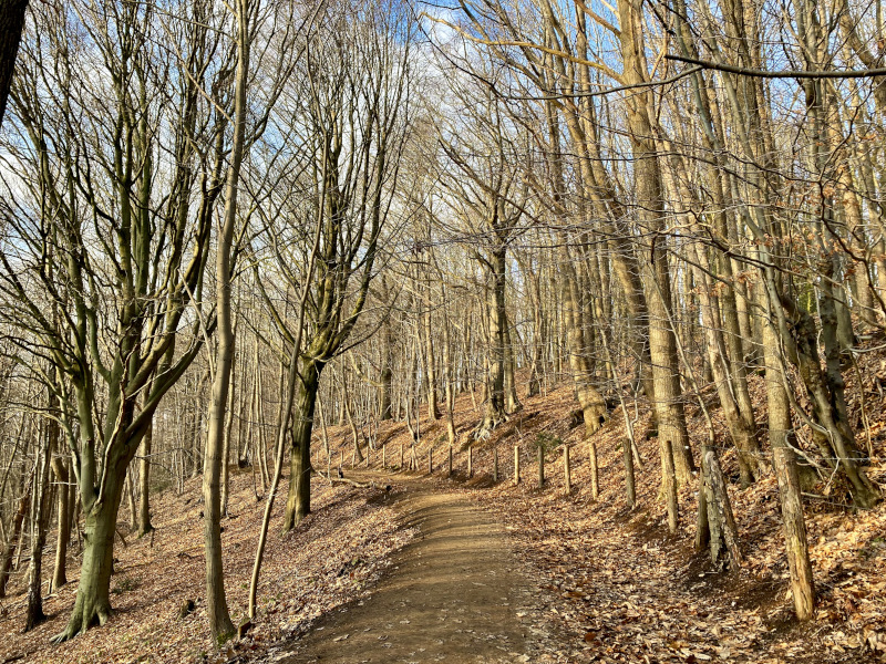
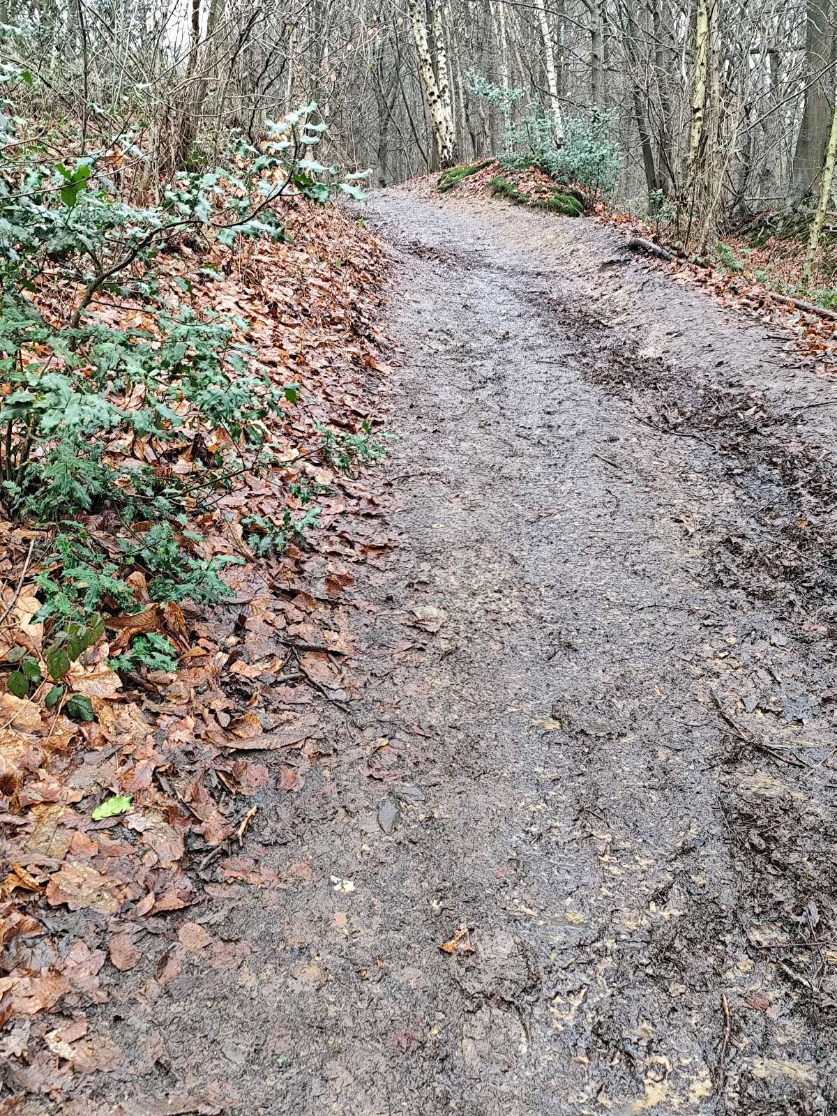
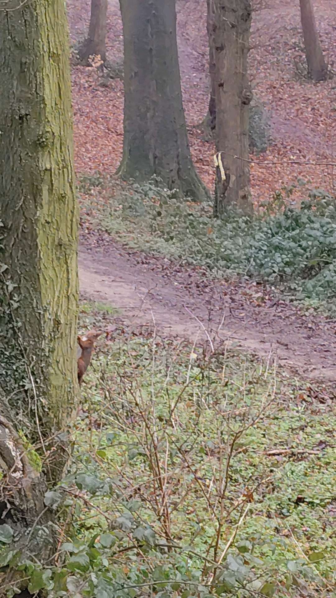
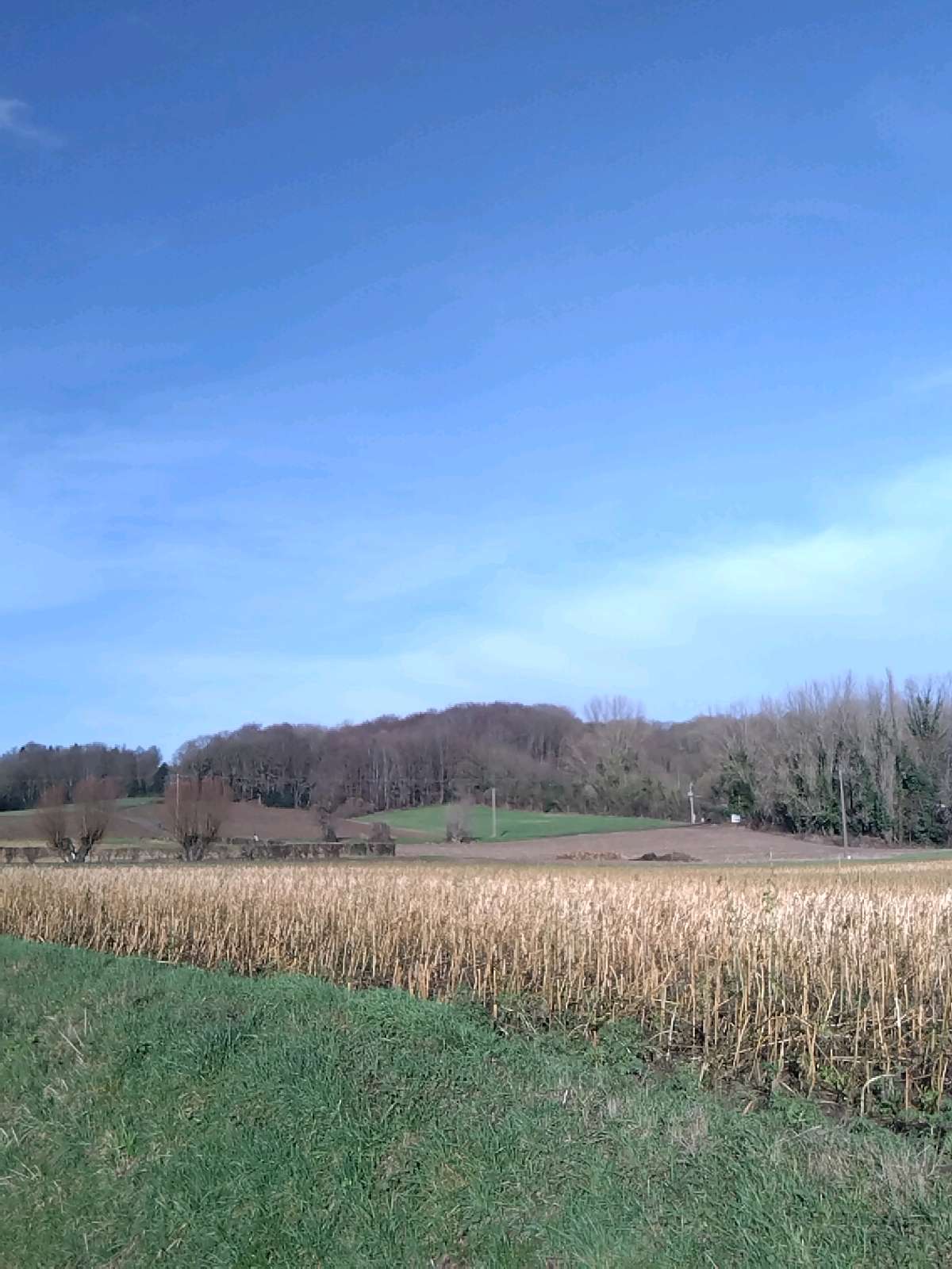
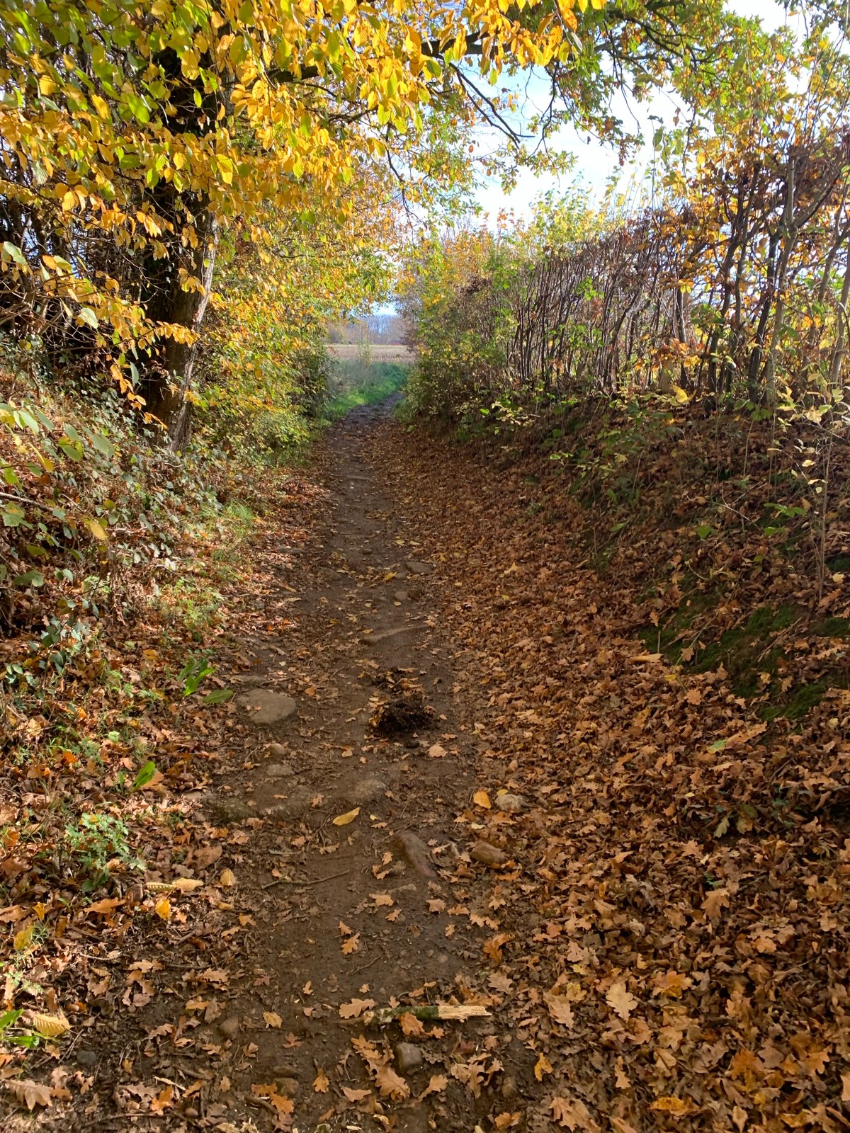
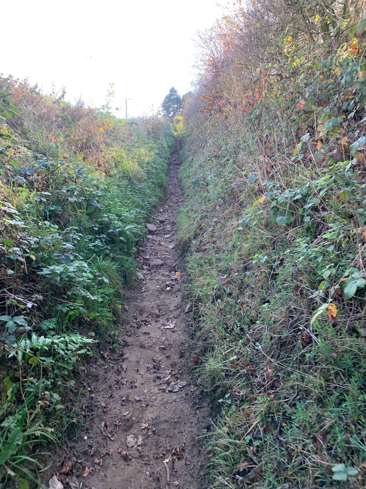
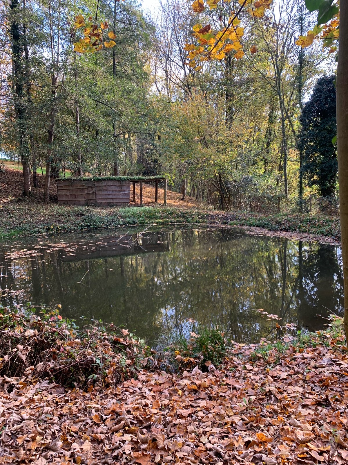
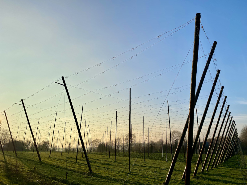
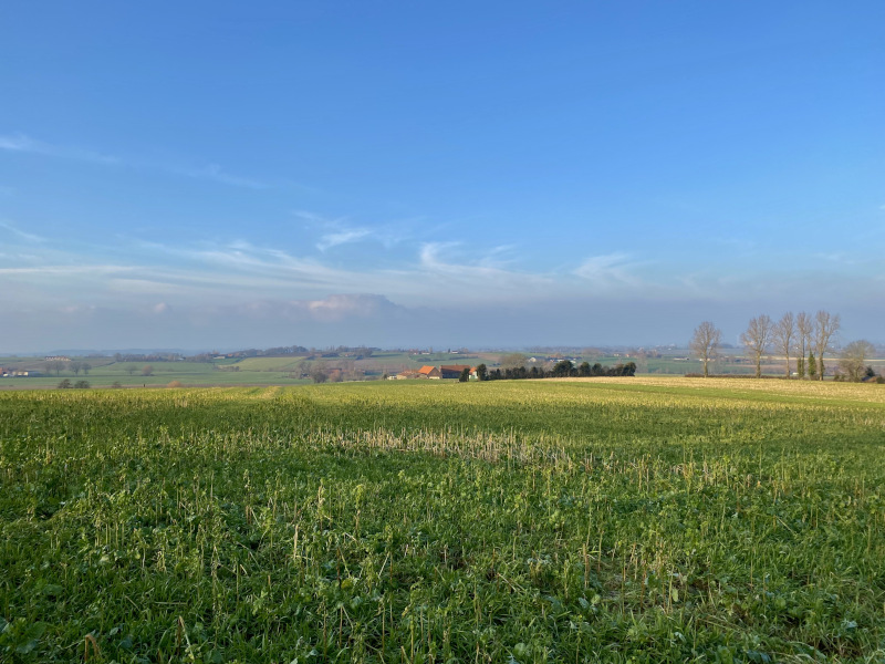
If you're new to trail running or looking for a fast-paced outing, this is the perfect route with a variety of terrains. The difficulty increases with a gentle climb at the start, before becoming steeper as you reach the Mont Noir. You will then alternate between single-track and wide paths through the countryside before descending through the Marguerite Yourcenar park and returning to the starting point.
The characteristics of the route.

Saint-Jans-Cappel (59)
- Distance 9.22 km
- Elevation gain 173 m
- Elevation lost 173 m
- Min. elevation 31 m
- Max. elevation. 136 m
- Duration (depending on pace) 0h50 à 1h40
- Marking n°1 green
Report a problem
PDF - Route 1 The latest reviews & times
marinehdlp
The 2026/04/05
En savoir plus
youyou59
The 2026/03/21
En savoir plus
regis7782
The 2026/03/21
En savoir plus
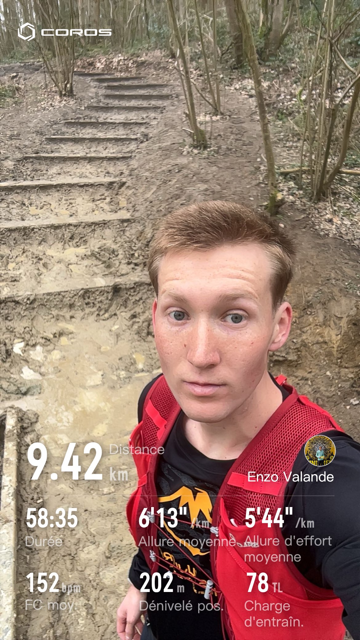
Run_enzo
finished in 00:58:00
The
En savoir plus
jena62136
The 2026/03/08
En savoir plus
See all reviews & times
2026/04/05 marinehdlp
2026/03/21 youyou59
parcours agréable
2026/03/21 regis7782
2026/03/08 jena62136
2026/03/08 jena62136
2025/12/09 même_pas_mal
beau parcours
2025/11/17 00:55:00
Ewen29
Ewen29
2025/07/20 Tovan
top parcours ! 56:06
2024/03/10 Sensei
Parcours bien agréable. Pas toujours facile à suivre d'autant que les chemins parallèles n aident pas à rester sur la trace de la montre.
Peu de goudron, très agréable.
2024/03/09 chtidavdu59-_
Très agréable pour démarrer les petits circuit
2024/02/16 Tuliobxl
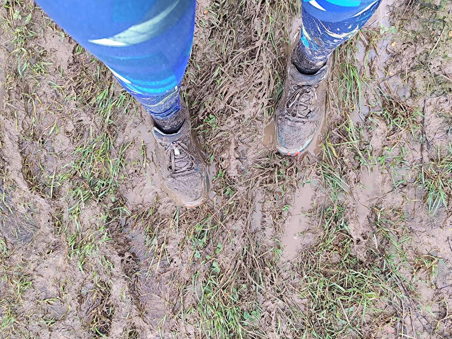
Fait hier! Le fléchage est pas si facile à suivre donc au final je finis à 11km au lieu des 9,2 en 1h08 ???? ouais pas mal de détours mais bon il faisait beau ca reste plaisir! Parcours top : de la boue, de la forêt, de la caillasse, des ruisseaux.. un bon kiff !
2024/01/02 01:12:16
fran59190
fran59190
2023/12/21 00:57:35
Carlitodu62-
Carlitodu62-
Top c’est un grand oui merci à ceux qui ont préparé le parcours le balisage et l’application !! parcours fait en 57min35
2023/12/10 Pitch-ou-Nette
Circuit 1 fait ce matin, bien boueux mais bien sympa. Merci aux 2 runners qui m'ont mise sur le départ ????????. Bien balisé ensuite
2023/11/19 weizou
parcours très sympa, passages techniques aussi bien en descentes qu’en montées !
2023/11/12 00:55:20
MBuet
MBuet
2023/11/12 00:55:20
MBuet
MBuet
2023/11/08 _59belly-59
Je me demande si à l'envers il n'est pas plus dur ????
2023/10/29 _59belly-59
Super merci 1h05
2023/10/15 00:54:42
Thibault Dugauguez
Thibault Dugauguez
2023/10/10 01:01:00
Sebjanskappel
Sebjanskappel
Beau parcours vallonné et varié
2026/04/05 marinehdlp
2026/03/21 youyou59
parcours agréable
2026/03/21 regis7782
2026/03/08 jena62136
2026/03/08 jena62136
2025/12/09 même_pas_mal
beau parcours
2025/11/17 00:55:00
Ewen29
Ewen29
00:53:00
Ludolouah
Ludolouah
Realisé ce jour sous un beau soleil. Super parcours mais avoir une bonne connexion pour suivre le tracé ou une bonne montre avec carto très précise. 53 minutes
2025/07/20 Tovan
top parcours ! 56:06
2024/03/10 Sensei
Parcours bien agréable. Pas toujours facile à suivre d'autant que les chemins parallèles n aident pas à rester sur la trace de la montre.
Peu de goudron, très agréable.
2024/03/09 chtidavdu59-_
Très agréable pour démarrer les petits circuit
2024/02/16 Tuliobxl
Fait hier! Le fléchage est pas si facile à suivre donc au final je finis à 11km au lieu des 9,2 en 1h08 ???? ouais pas mal de détours mais bon il faisait beau ca reste plaisir! Parcours top : de la boue, de la forêt, de la caillasse, des ruisseaux.. un bon kiff !
2024/01/02 01:12:16
fran59190
fran59190
2023/12/21 00:57:35
Carlitodu62-
Carlitodu62-
Top c’est un grand oui merci à ceux qui ont préparé le parcours le balisage et l’application !! parcours fait en 57min35
2023/12/10 Pitch-ou-Nette
Circuit 1 fait ce matin, bien boueux mais bien sympa. Merci aux 2 runners qui m'ont mise sur le départ ????????. Bien balisé ensuite
2023/11/19 weizou
parcours très sympa, passages techniques aussi bien en descentes qu’en montées !
2023/11/19 01:00:00
weizou
weizou
attention de bien tourner à droite lors de l’entrée dans le parc marguerite Yourcenar, nous n’avons pas vu le balisage
2023/11/12 00:55:20
MBuet
MBuet
2023/11/12 00:55:20
MBuet
MBuet
2023/11/08 _59belly-59
Je me demande si à l'envers il n'est pas plus dur ????
2023/10/29 _59belly-59
Super merci 1h05
2023/10/15 00:54:42
Thibault Dugauguez
Thibault Dugauguez
2023/10/10 01:01:00
Sebjanskappel
Sebjanskappel
Beau parcours vallonné et varié
Services nearby

Musée Marguerite Yourcenar
SAINT-JANS-CAPPEL

Chambres d'hôtes chez Eddie
SAINT-JANS-CAPPEL

La friterie en or
SAINT-JANS-CAPPEL
La maison commune
SAINT-JANS-CAPPEL
Gîte "Chez Eddie"
SAINT-JANS-CAPPEL


Follow us on
the digital trails
the digital trails


![]()
Website
Contact mail
Information offices
Bailleul - 03 65 67 10 17
Cassel - 03 65 67 41 12
 In Flanders Trails - Parcours - Route 1 - In the footsteps of Marguerite
Hello, world! This is a toast message.
In Flanders Trails - Parcours - Route 1 - In the footsteps of Marguerite
Hello, world! This is a toast message.
In Flanders Trails - Parcours - Route 1 - In the footsteps of Marguerite
Hello, world! This is a toast message.


OK
Annuler