Route 2 - The mountain range
Add to my favorites

Route opened

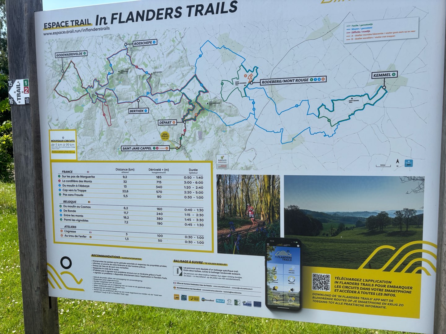
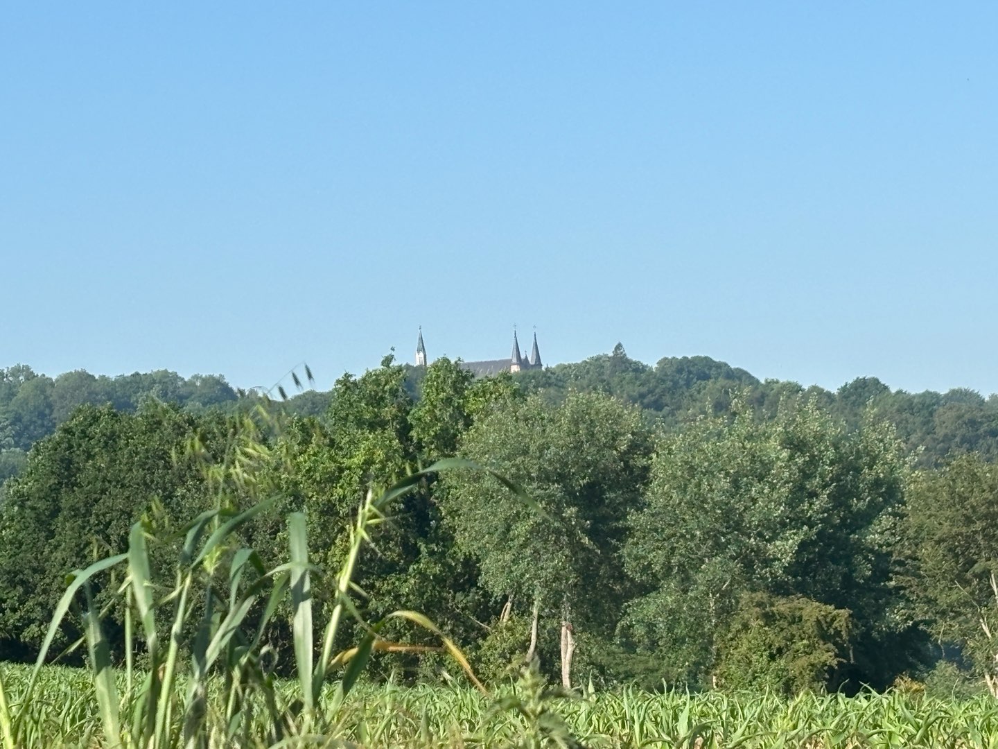
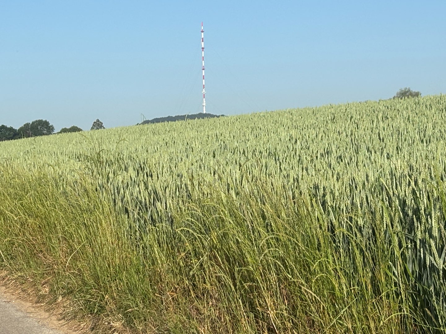
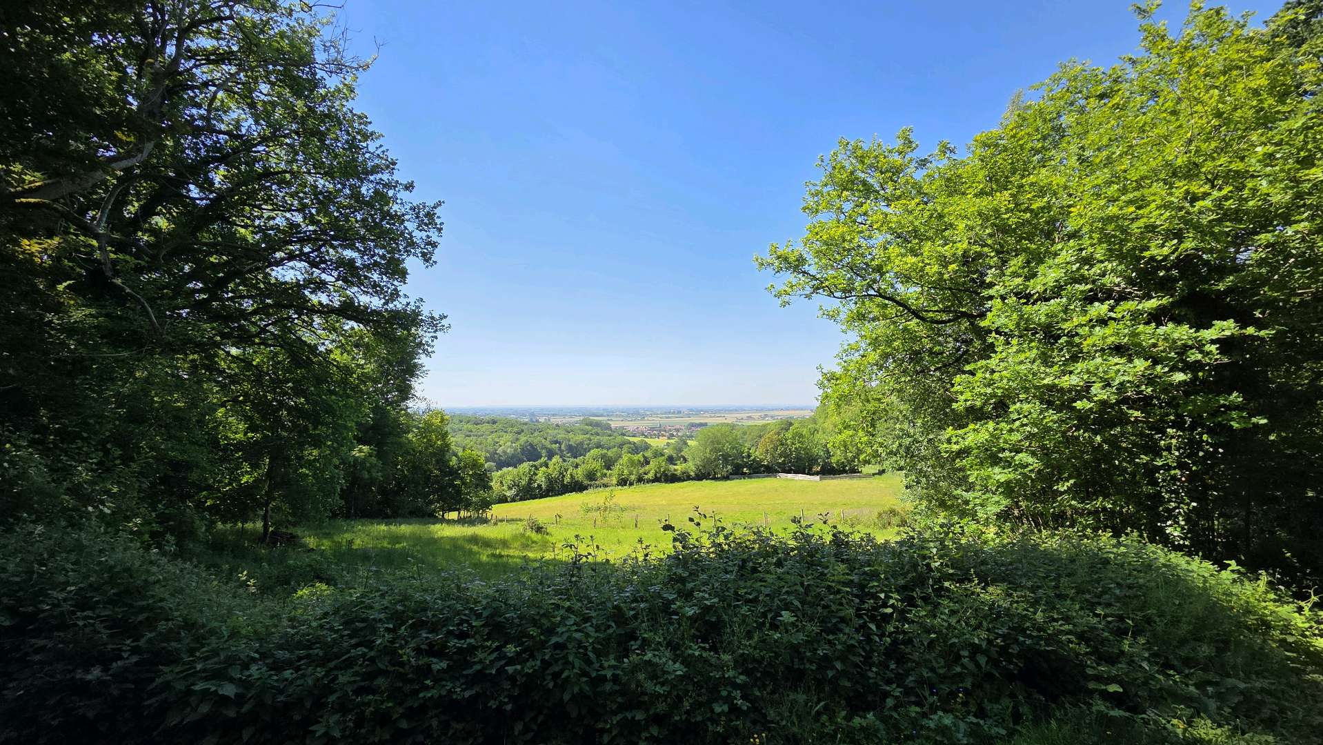
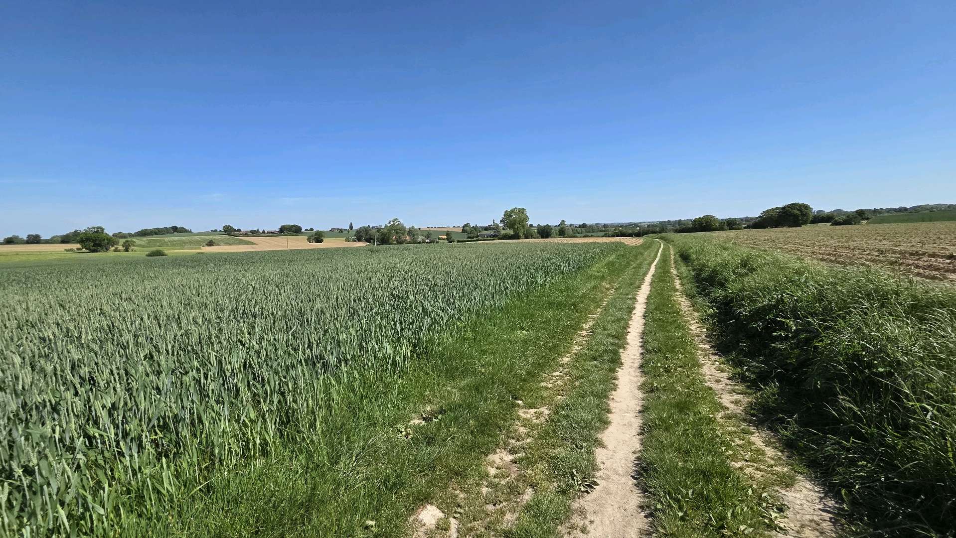
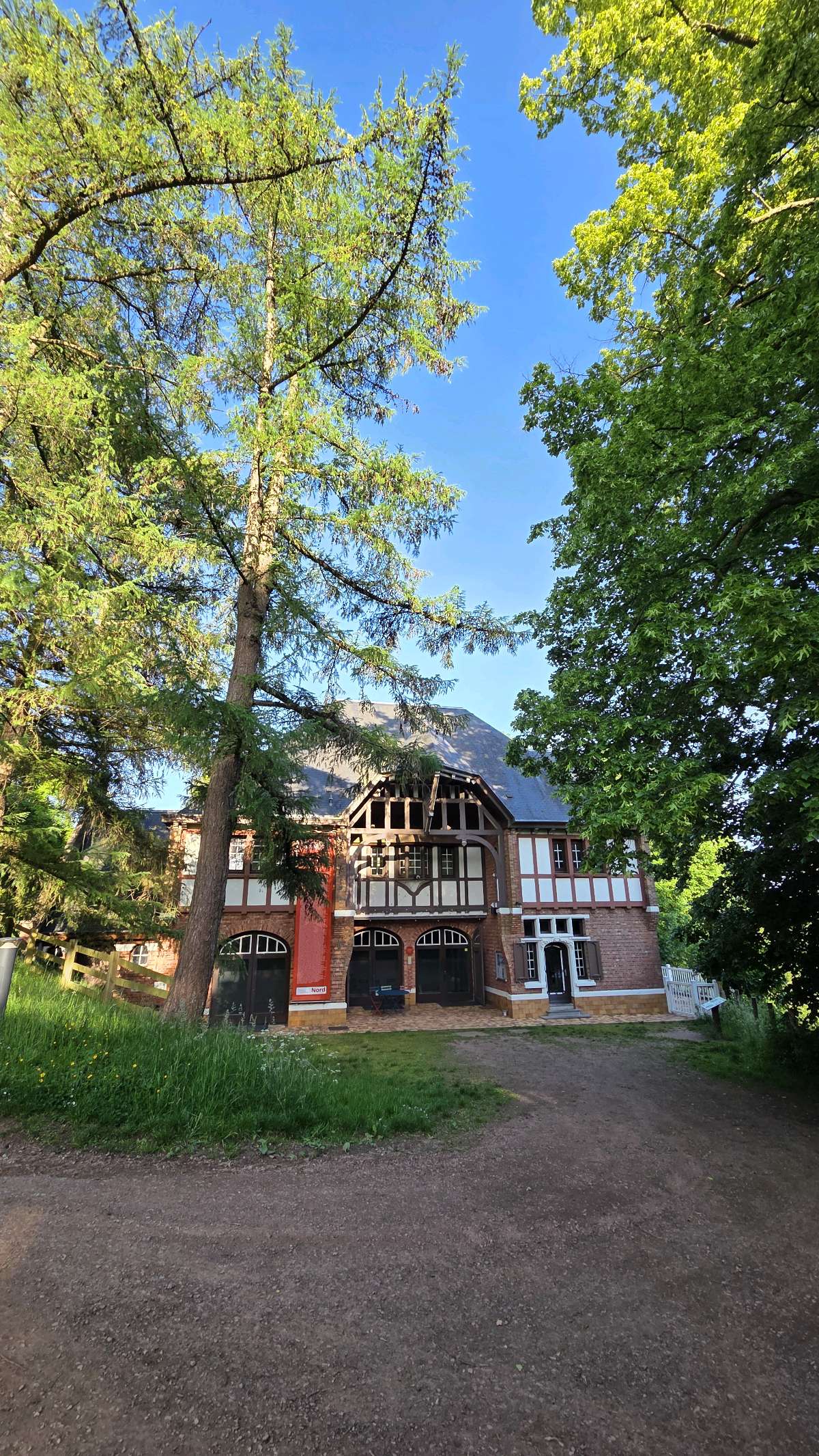
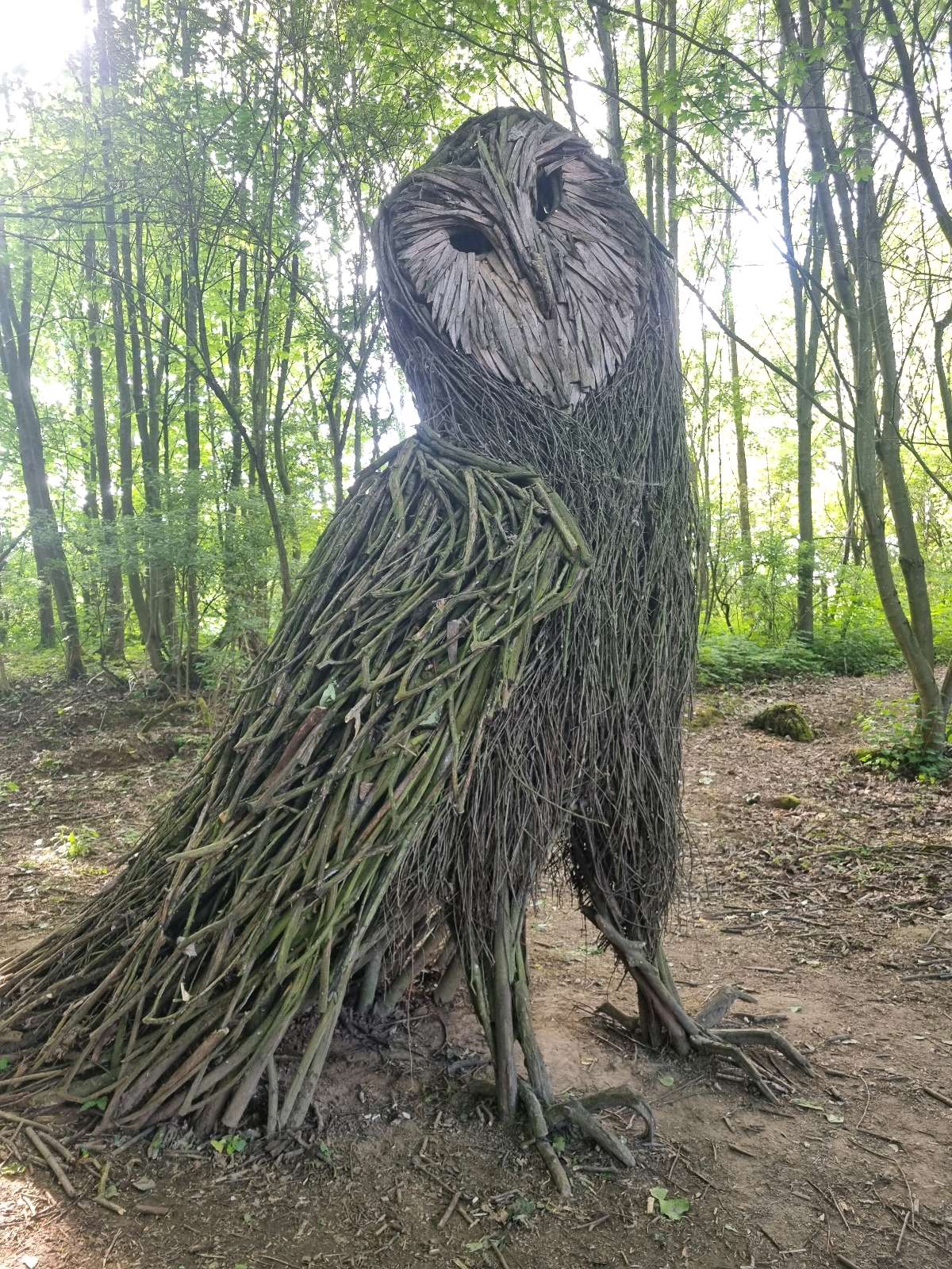
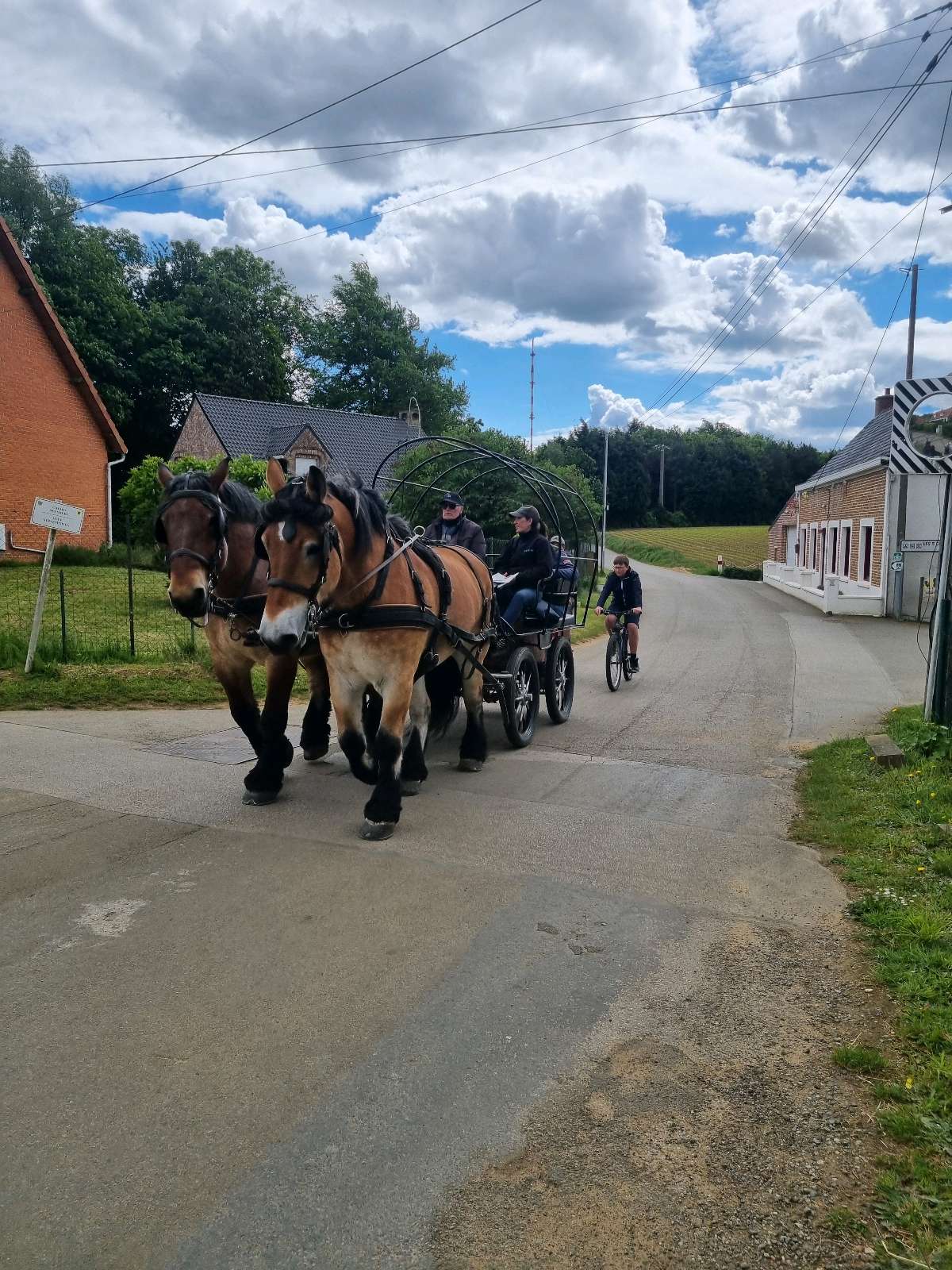
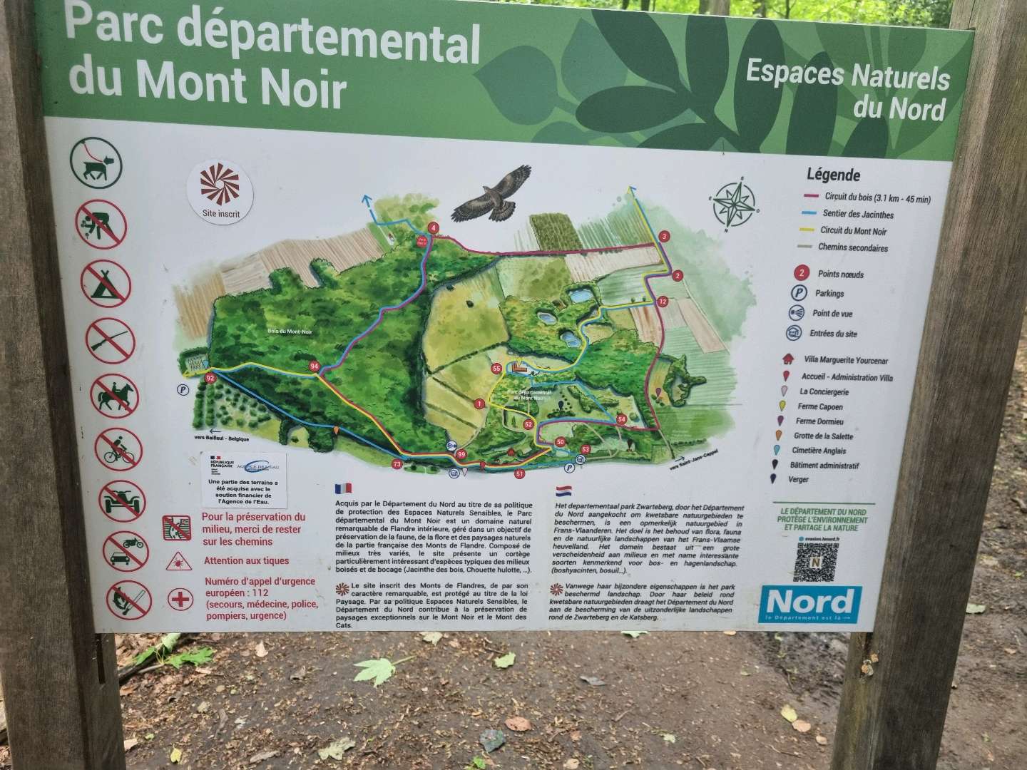
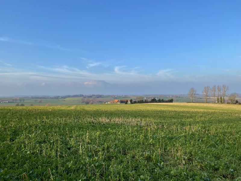
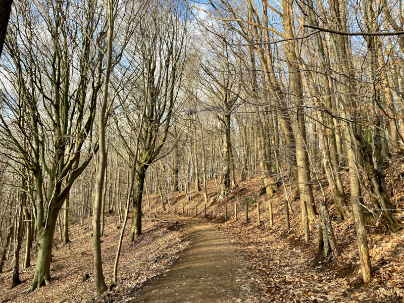
This is the ideal route for planning your long outings. The 30-kilometre route includes more than 700 metres of ascent, with a number of rises that will require you to be on your toes at all times. It's a delight for the legs, with varied terrain and a profile suited to changes of pace, as much as it’s a feast for the eyes! You’ll also enjoy all the heritage the route has to offer, with the Marguerite Yourcenar Park, the Mont des Cats Abbey, the Moulin de l'Ingratitude, the hop gardens, the oratories and chapels.
The characteristics of the route.
Saint-Jans-Cappel (59)
- Distance 31.97 km
- Elevation gain 670 m
- Elevation lost 670 m
- Min. elevation 31 m
- Max. elevation. 164 m
- Duration (depending on pace) 3h à 6h
- Marking n°2 red
The latest reviews & times
Pascal-1963
finished in 04:00:00
The 2026/05/27
En savoir plus
Jubarz
The 2026/05/24
En savoir plus
mlocoche
The 2026/05/16
En savoir plus
TibeXinho
The 2026/05/12
En savoir plus
colas250
The 2026/03/07
En savoir plus
See all reviews & times
2026/05/12 TibeXinho
2026/03/07 colas250
2026/01/15 03:57:00
Argominos
Argominos
Bon parcours, belle région, on ne s'en lasse pas !
2025/10/25 03:20:00
Jibeymhx
Jibeymhx
superbe tracé, une belle boucle avec de très belles vues et quelques montées sympathiques histoire de chatouiller les mollets, merci !
2025/08/24 03:25:00
Ewen29
Ewen29
2025/03/27 cha-tutu
2024/04/08 Matthijs_dm25
een zeer mooi parcours met stevige secties. maar telkens een mooi zicht van de streek. een mooie topper. kijk goed uit naar de bewijzering achteraan beneden de catsberg zijn enkele wijzers afgebroken. verder is het genieten.
2024/04/04 Marc59210
Parcours au top ???? j'ai poussé jusqu'à 40Km... sur certaines portion, il y a énormément de GRAS, on dirait verdun...???? j'espère que les organisateurs du NTMF vont choisir un autre itinéraire...????
2024/03/31 jbiq
Parcours sympa, fléchage top, idéal pour les sorties longues. Très boueux avec les pluies de ces derniers jours. Attention les toilettes de l'église de godewaersvelde sont fermés, pas cool quand on y prévoit son ravito en eau. Merci au restau l'école buissonnière de m'avoir dépanné!
2024/03/30 03:36:00
jbiq
jbiq
2024/03/24 chtidavdu59-_
Très beau parcours bien baliser celui ci pas de poteaux arracher
Merci d’avoir réaliser tout ses beaux balisage
2024/02/25 03:07:19
Kev59-
Kev59-
2024/02/24 03:39:02
Arno59480
Arno59480
Parcours génial, malheureusement quelques bornes cassé, mais avec le GPX c'est top.
En cette saison c'est très boueux mais je me suis bien amusé quand même. Rdv en avril sur le 80km
2024/01/21 02:41:27
Flid
Flid
2024/01/15 2301_90
Bis repetita ce dimanche avec la neige en invité, sympa et très boueux ???? Chrono amélioré de 2 minutes. NTMF115 M-3 ??????
2023/11/19 Chdave59
Bonjour à tous. Parcours top.
Plus ou moins celui du NTMF 25, allongé derrière le Mont des cats. Balisage très bien.
Bon, sortie de Godewaersvelde, je me suis pommé un peu. Et surtout niveau balisage pensez à regarder les 4 faces des poteaux bois. Parfois ce n'est visible de suite (sûrement la seule place qu'il restait).
Au final je fais 30 bornes et 630 de D+.
Donc loupé un peu.
Bonnes sorties à tous.
2023/11/02 Colemyn Sandrine
Bonjour le parcour génial, 2 petites choses.
La flèche de signalisation à l'entrée du terrain du tir à l'arc boeschepe trop haut et soit pas vue où pas trouvé la flèche de signalisation en arrivant devant le chemin devant moulin boeschepe pour tourner à gauche.
Merci à vous
2023/11/01 03:44:00
Sebjanskappel
Sebjanskappel
Beau parcours idéal sortie longue. Bon fléchage.
2023/10/30 04:33:00
Christ62
Christ62
Balisage au top! Distance et dénivelé conformes...la partie autour de l'antenne un peu trop longue... Idéal pour prépa de longue distance
2023/10/24 TheoL
Parcours au top ????
2023/10/14 2301_90
Calou59299, il faut appuyer sur GPX ensuite tu partages par message, et tu télécharges avec Garmin ????
2026/05/27 04:00:00
Pascal-1963
Pascal-1963
Circuit idéal en guise de final de préparation pour le Matatrail des Hobbits. Toujours dommage de constater lés dégradations gratuites sur le fléchage ????.
2026/05/12 TibeXinho
2026/03/07 colas250
2026/01/15 03:57:00
Argominos
Argominos
Bon parcours, belle région, on ne s'en lasse pas !
2025/12/26 03:10:00
Stef47
Stef47
beau parcours avec divers terrains. faut être vigilant pour ne pas louper le fléchage. fléchage en quantité suffisante.
2025/10/25 03:20:00
Jibeymhx
Jibeymhx
superbe tracé, une belle boucle avec de très belles vues et quelques montées sympathiques histoire de chatouiller les mollets, merci !
2025/08/24 03:25:00
Ewen29
Ewen29
2025/03/30 03:38:00
Romain59190
Romain59190
Super parcours mais heureusement que j’avais le tracé GPX sinon des fois ça manque d’indications. Mais c’est super ce parcours. Hâte d’essayer les suivants.
2025/03/27 cha-tutu
2024/04/08 Matthijs_dm25
een zeer mooi parcours met stevige secties. maar telkens een mooi zicht van de streek. een mooie topper. kijk goed uit naar de bewijzering achteraan beneden de catsberg zijn enkele wijzers afgebroken. verder is het genieten.
2024/04/04 Marc59210
Parcours au top ???? j'ai poussé jusqu'à 40Km... sur certaines portion, il y a énormément de GRAS, on dirait verdun...???? j'espère que les organisateurs du NTMF vont choisir un autre itinéraire...????
2024/03/31 jbiq
Parcours sympa, fléchage top, idéal pour les sorties longues. Très boueux avec les pluies de ces derniers jours. Attention les toilettes de l'église de godewaersvelde sont fermés, pas cool quand on y prévoit son ravito en eau. Merci au restau l'école buissonnière de m'avoir dépanné!
2024/03/30 03:36:00
jbiq
jbiq
2024/03/24 chtidavdu59-_
Très beau parcours bien baliser celui ci pas de poteaux arracher
Merci d’avoir réaliser tout ses beaux balisage
2024/02/25 03:07:19
Kev59-
Kev59-
2024/02/24 03:39:02
Arno59480
Arno59480
Parcours génial, malheureusement quelques bornes cassé, mais avec le GPX c'est top.
En cette saison c'est très boueux mais je me suis bien amusé quand même. Rdv en avril sur le 80km
2024/01/21 02:41:27
Flid
Flid
2024/01/15 2301_90
Bis repetita ce dimanche avec la neige en invité, sympa et très boueux ???? Chrono amélioré de 2 minutes. NTMF115 M-3 ??????
2023/11/19 Chdave59
Bonjour à tous. Parcours top.
Plus ou moins celui du NTMF 25, allongé derrière le Mont des cats. Balisage très bien.
Bon, sortie de Godewaersvelde, je me suis pommé un peu. Et surtout niveau balisage pensez à regarder les 4 faces des poteaux bois. Parfois ce n'est visible de suite (sûrement la seule place qu'il restait).
Au final je fais 30 bornes et 630 de D+.
Donc loupé un peu.
Bonnes sorties à tous.
2023/11/02 Colemyn Sandrine
Bonjour le parcour génial, 2 petites choses.
La flèche de signalisation à l'entrée du terrain du tir à l'arc boeschepe trop haut et soit pas vue où pas trouvé la flèche de signalisation en arrivant devant le chemin devant moulin boeschepe pour tourner à gauche.
Merci à vous
2023/11/01 03:44:00
Sebjanskappel
Sebjanskappel
Beau parcours idéal sortie longue. Bon fléchage.
2023/10/30 04:33:00
Christ62
Christ62
Balisage au top! Distance et dénivelé conformes...la partie autour de l'antenne un peu trop longue... Idéal pour prépa de longue distance
2023/10/30 04:33:23
Tristram
Tristram
Balisage et traçage parfait. Beau parcours mais un peu trop de bitume à mon goût
2023/10/24 TheoL
Parcours au top ????
2023/10/14 2301_90
Calou59299, il faut appuyer sur GPX ensuite tu partages par message, et tu télécharges avec Garmin ????
Services nearby

Musée Marguerite Yourcenar
SAINT-JANS-CAPPEL

Chambres d'hôtes chez Eddie
SAINT-JANS-CAPPEL

La friterie en or
SAINT-JANS-CAPPEL
La maison commune
SAINT-JANS-CAPPEL
Gîte "Chez Eddie"
SAINT-JANS-CAPPEL


Follow us on
the digital trails
the digital trails


![]()
Website
Contact mail
Information offices
Bailleul - 03 65 67 10 17
Cassel - 03 65 67 41 12
 In Flanders Trails - Parcours - Route 2 - The mountain range
Hello, world! This is a toast message.
In Flanders Trails - Parcours - Route 2 - The mountain range
Hello, world! This is a toast message.
In Flanders Trails - Parcours - Route 2 - The mountain range
Hello, world! This is a toast message.


OK
Annuler